Buckinghamshire Council has secured funding to improve the trackbed of a former railway line so that it is suitable as a walking, wheeling, and cycling cross-town link in Buckingham.
Funding for the improvements will come from Active Travel England, which will contribute £1.43m towards the £1.7m of the Railway Walk scheme.
The rest of the cost will be provided through Section 106 developer contributions from a local development site.

The path is known locally as the Railway Walk.
After it has been improved, it will allow non-road users to escape the hustle and bustle of the streets in Buckingham town centre.
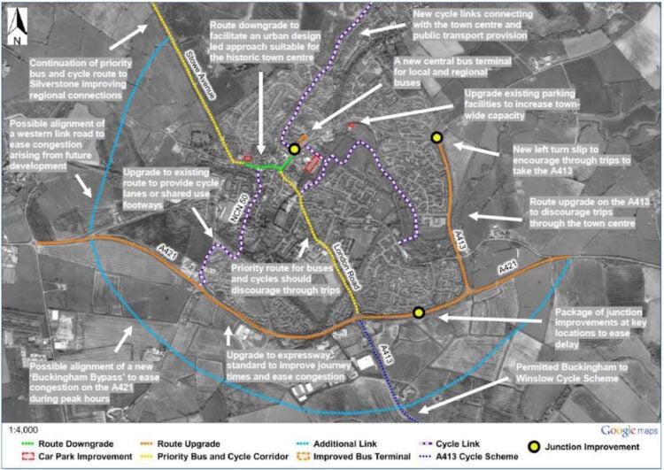
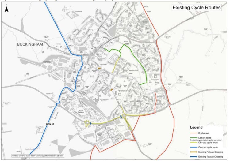
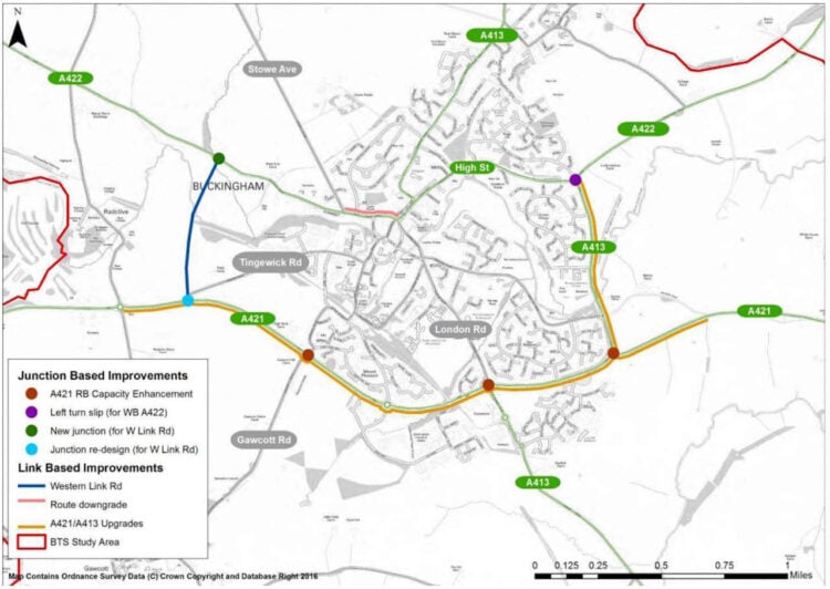
It will establish a key north-south route across Buckingham that has long been sought and was highlighted in the 2017 Buckingham Transport Strategy.
The key objective of this exciting project is to upgrade the existing path to make it fully accessible for walking, wheeling and cycling,
Steven Broadbent, Buckinghamshire Council’s Cabinet Member for Transport

Buckingham Town Council, the University of Buckingham and local stakeholders, will be involved in the project, that will see a mile of an existing footpath on a disused railway line in the town upgraded. Included in the project will be:
- New wayfinding signage.
- Installation of solar studs.
- Improvements to the surface of the path and increasing its width.
- Improving accessibility, including making improvements to kerb edge ramps and resting points
- New dedicated crossing points on Tingewick Road and the A421 at the northern and southern limits of the path to support onward travel.

Elsewhere in the country, last year Warwickshire County Council decided against demolishing a disused railway bridge in Redditch in favour of turning it into a cycle path, while community groups across Scotland came together to launch a campaign to encourage people to get out of their cars.
The key objective of this exciting project is to upgrade the existing path to become a fully-fledged greenway route – making it fully accessible for walking, wheeling and cycling, whilst recognising its treasured status as a green corridor for the town.
We will develop and deliver this scheme with the local knowledge of partners, including Buckingham Town Council and the University of Buckingham.
Once completed, the Railway Walk will form a key part of the walking, wheeling and cycling network envisaged for Buckingham as part of the town’s Transport Strategy. It will link to the existing active travel route along the A413, providing access to the new railway station in Winslow.
The Railway Walk will also form part of the Buckinghamshire Greenway – the vision for a continuous north-south active travel route running the length of the county. Future branches to the north and west will provide routes to Silverstone and Brackley respectively, with the route running southwards towards Steeple Claydon.
Steven Broadbent, Buckinghamshire Council’s Cabinet Member for Transport


Responses
I am a railway man through and through and prefer railways to cycle paths bring back the railways much better than getting tired out walking cycling all over the place.
Wouldn’t it be better to re-open the railway as a ‘railway’?
The vast majority of the line no longer exists. It is under houses and a supermarket. This stretch of the line is just about all there is.
That’s just factually untrue, if you look at the route on a satellite map there is a single digit amount of buildings on the route from Winslow through Buckingham into Brackley and ending in Banbury.
It’s one of the best preserved railway alignments in the country.
Why doesn’t the railway walk (Buckingham Town Council) / scenic walk (Buckinghamshire Council) feature on any of these maps?